Note that the station and the freight house in the first few pictures was built by the New York Central on the same location as the SHnE station. They belong to the Carthage, Watertown & Sackets Harbor railroad. Since it's one field trip report covering both railroads, I'll leave all the pictures together.
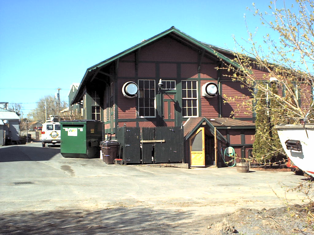
northeast end of the station - Topo Photo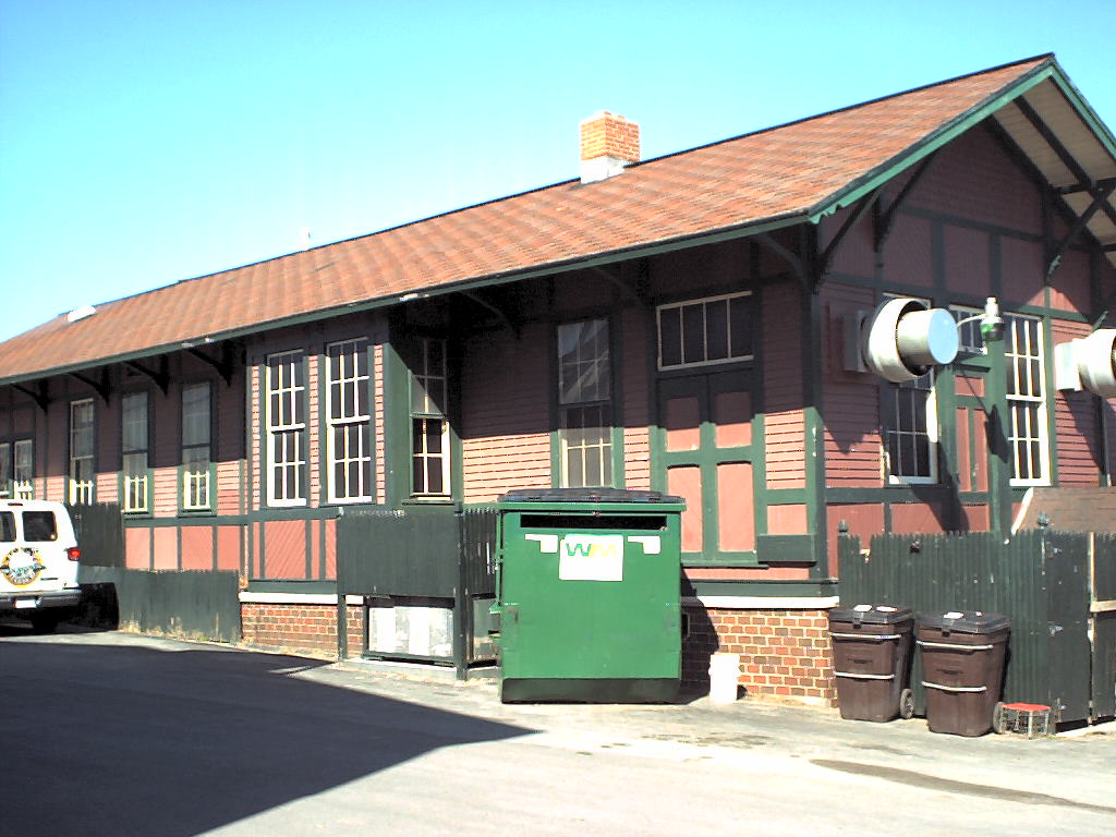 southeast side of the station - Topo Photo
 looking southwest at right of way out of town, was a cut - Topo Photo
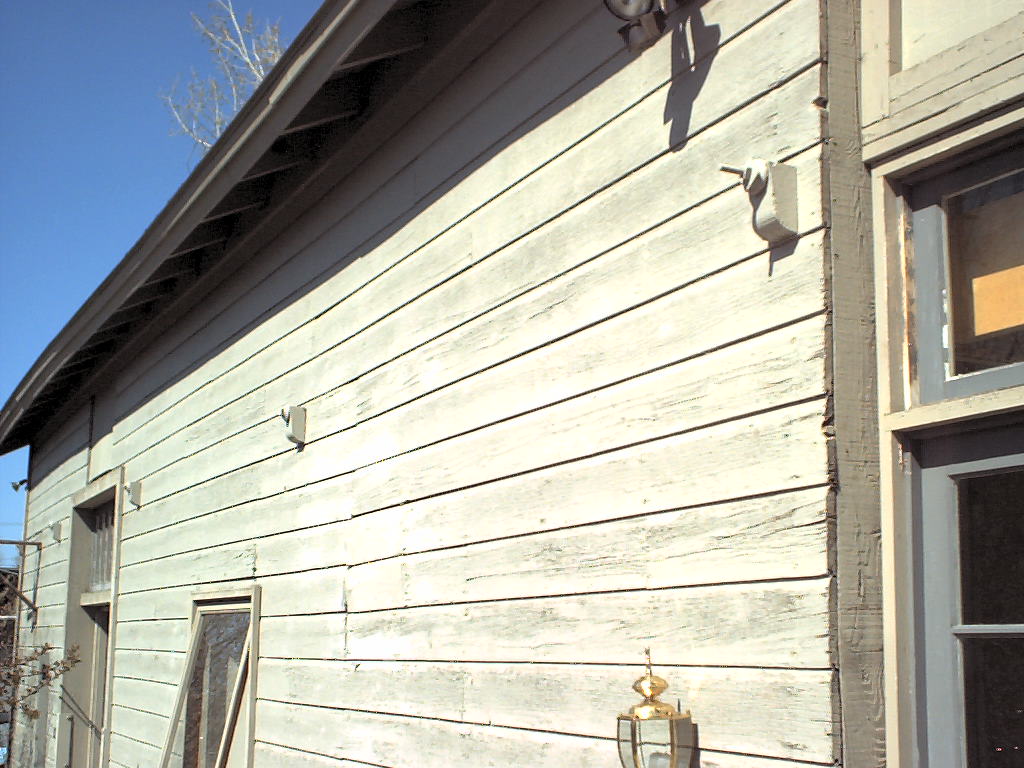 freight depot southeast side eves were cut off and brackets removed - Topo Photo
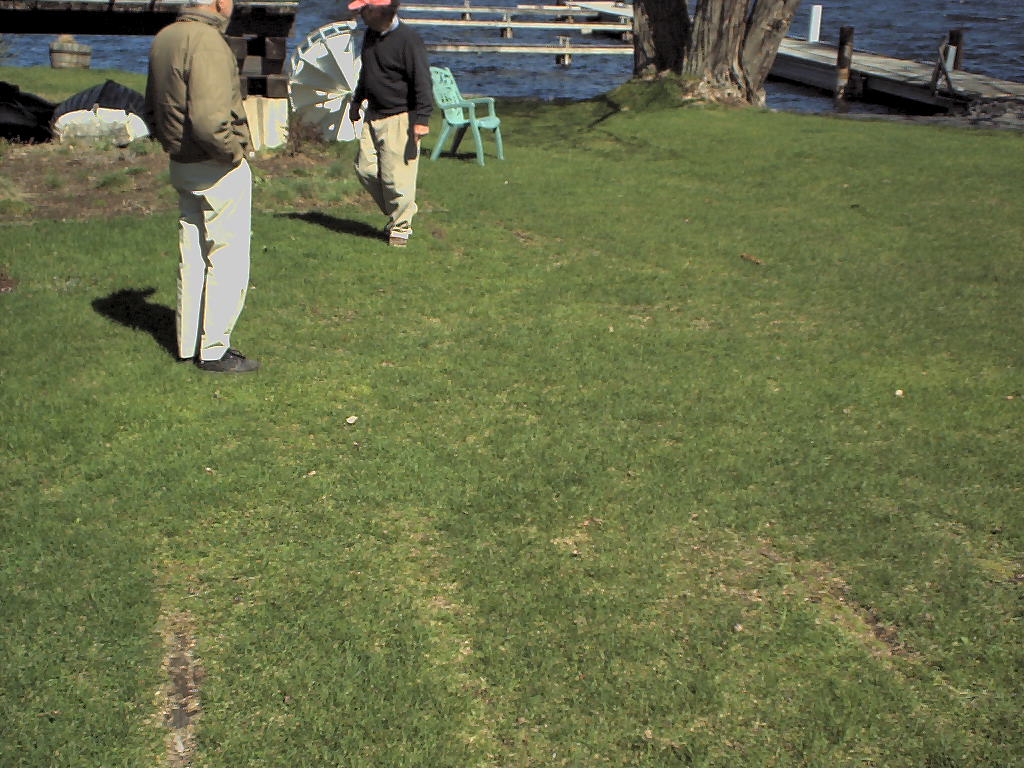 ties are still buried in grass, two tracks worth - Topo Photo
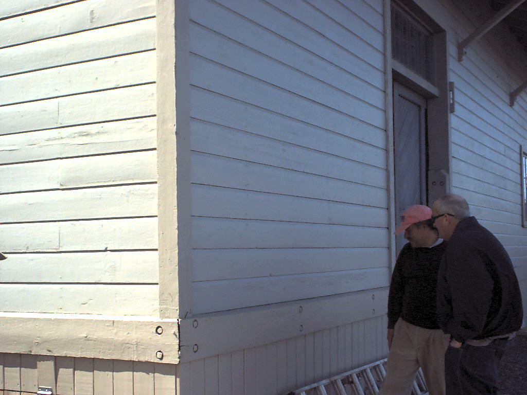 Guy Everett carved his name here - Topo Photo
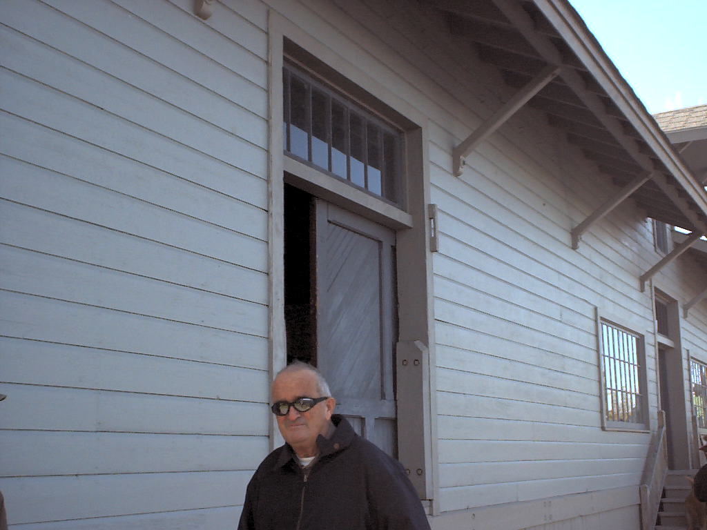 The eves are full-length on the northwest side of the building and that's Dick Palmer - Topo Photo
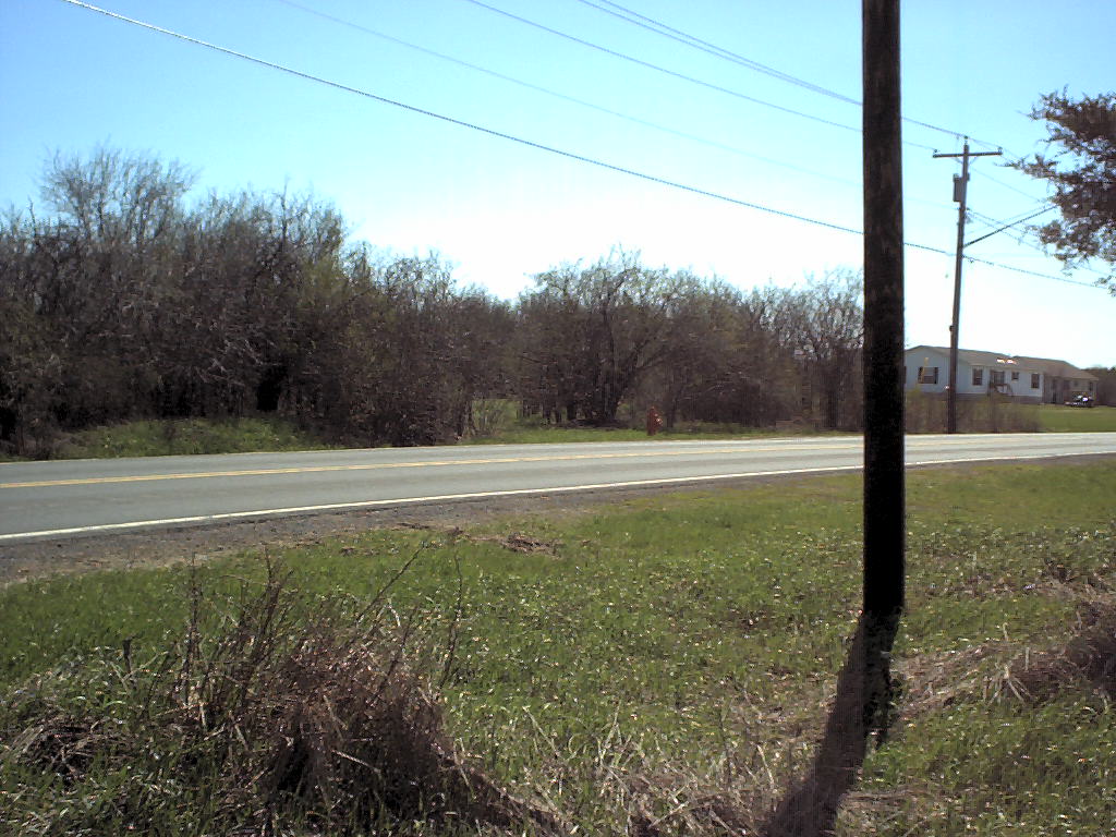 picture of railbed facing southeast - Topo Photo
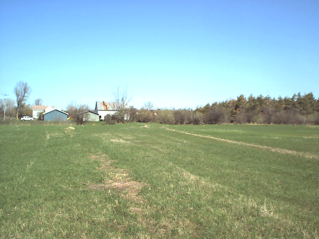 railbed in field next to road, facing north - Topo Photo
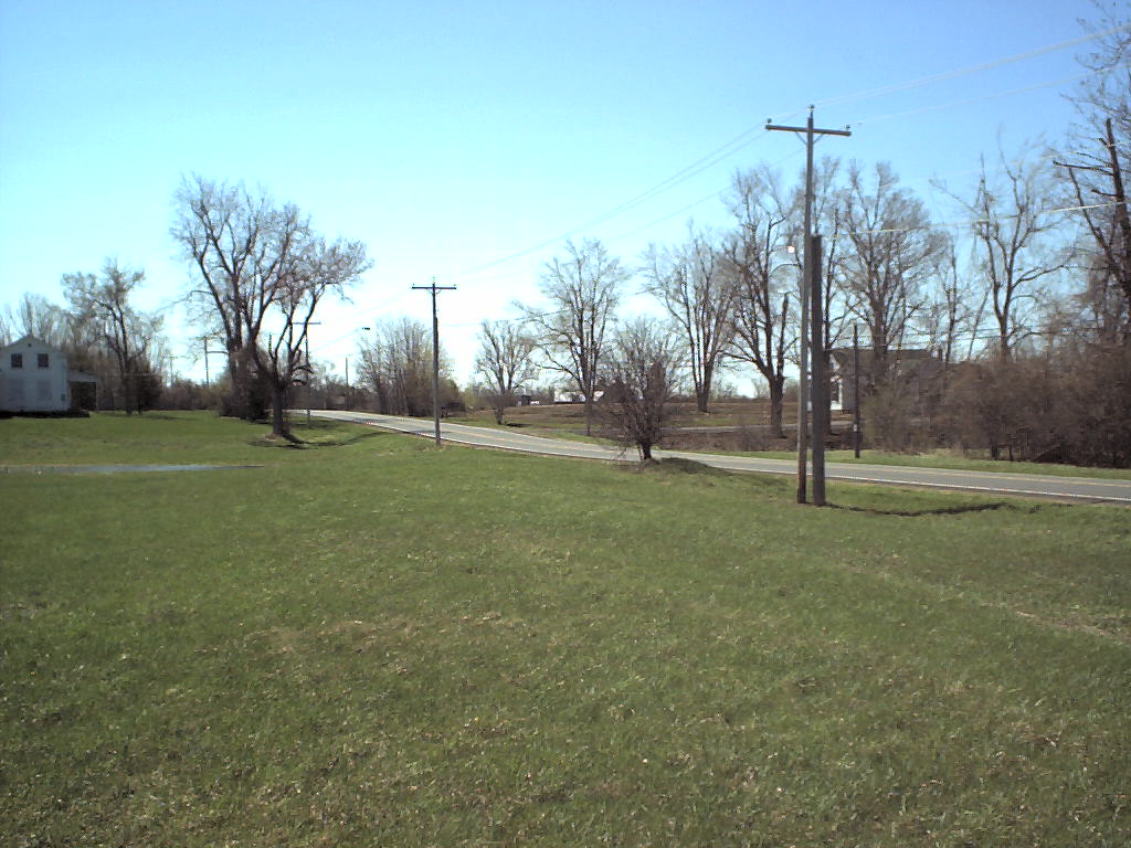 railbed in field next to road, facing south - Topo Photo
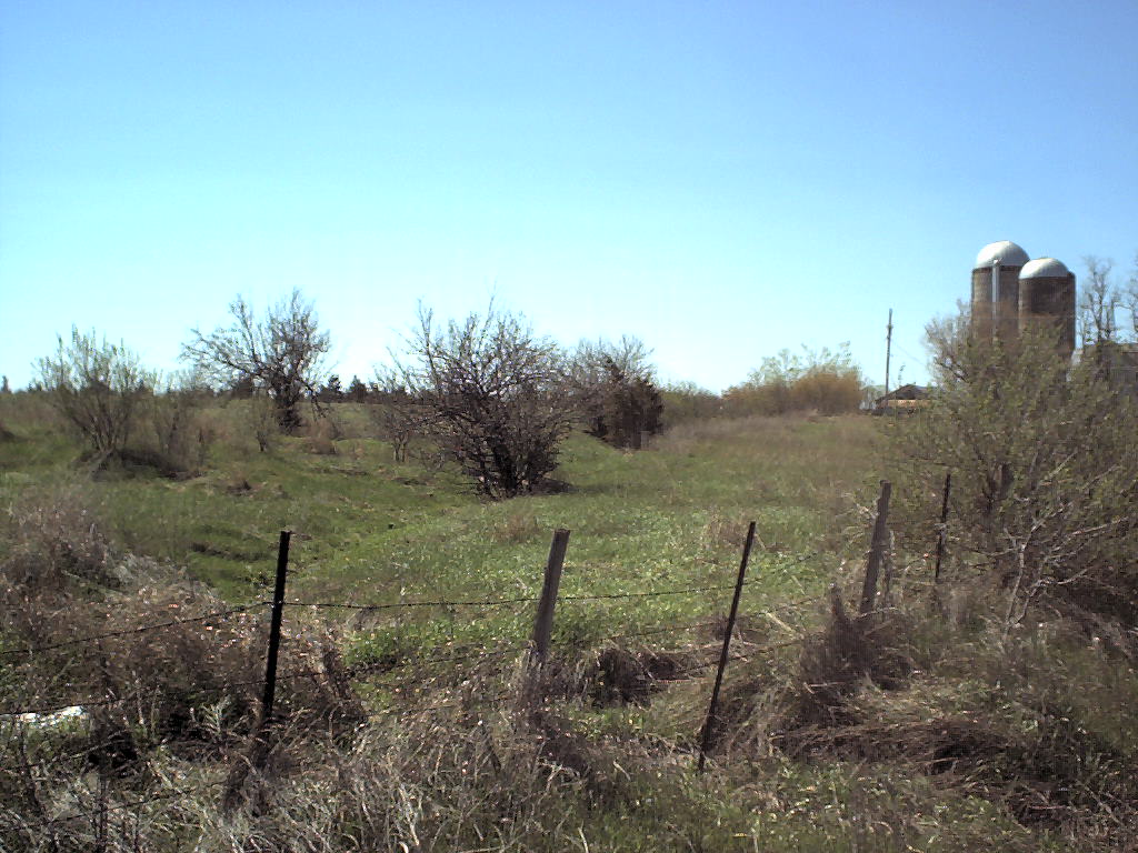 cut on south side of road - Topo Photo
 best surviving remnant of SHnE, a trestle, looking west. The damage on the east wing of the south side was caused by the property owner taking stone to build a fireplace. - Topo Photo
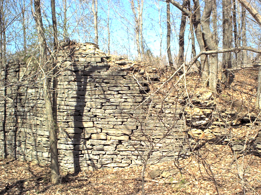 facing northwest - Topo Photo
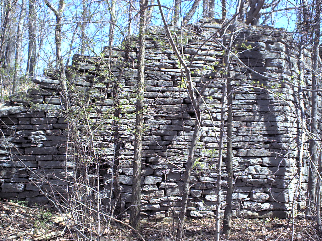 facing NNE - Topo Photo
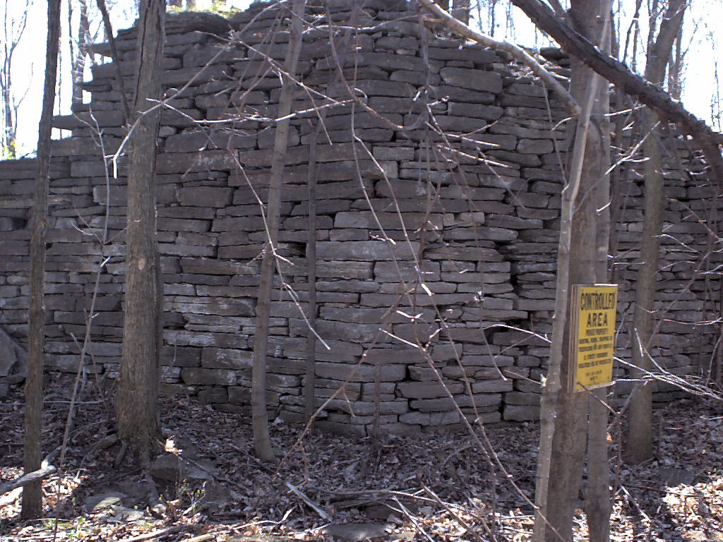 facing SE - Topo Photo
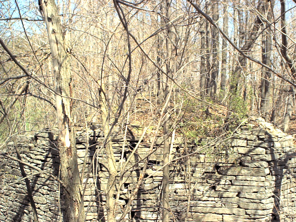 facing north looking across the abutments. Roadbed ahead and behind me is badly eroded, as the grading was done with local sand - Topo Photo
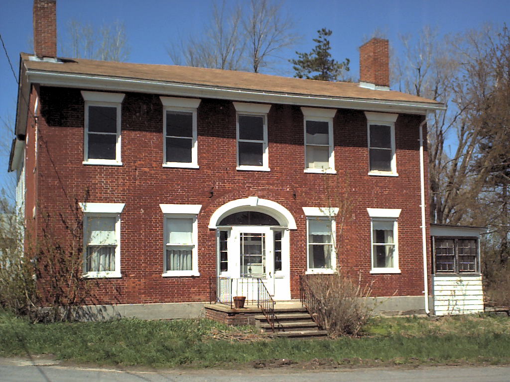 Hotel in Smithville - Topo Photo
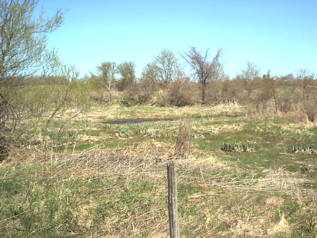 looking north across little creek. Aside from post indicating property line at railbed, there is no stonework visible at all - Topo Photo
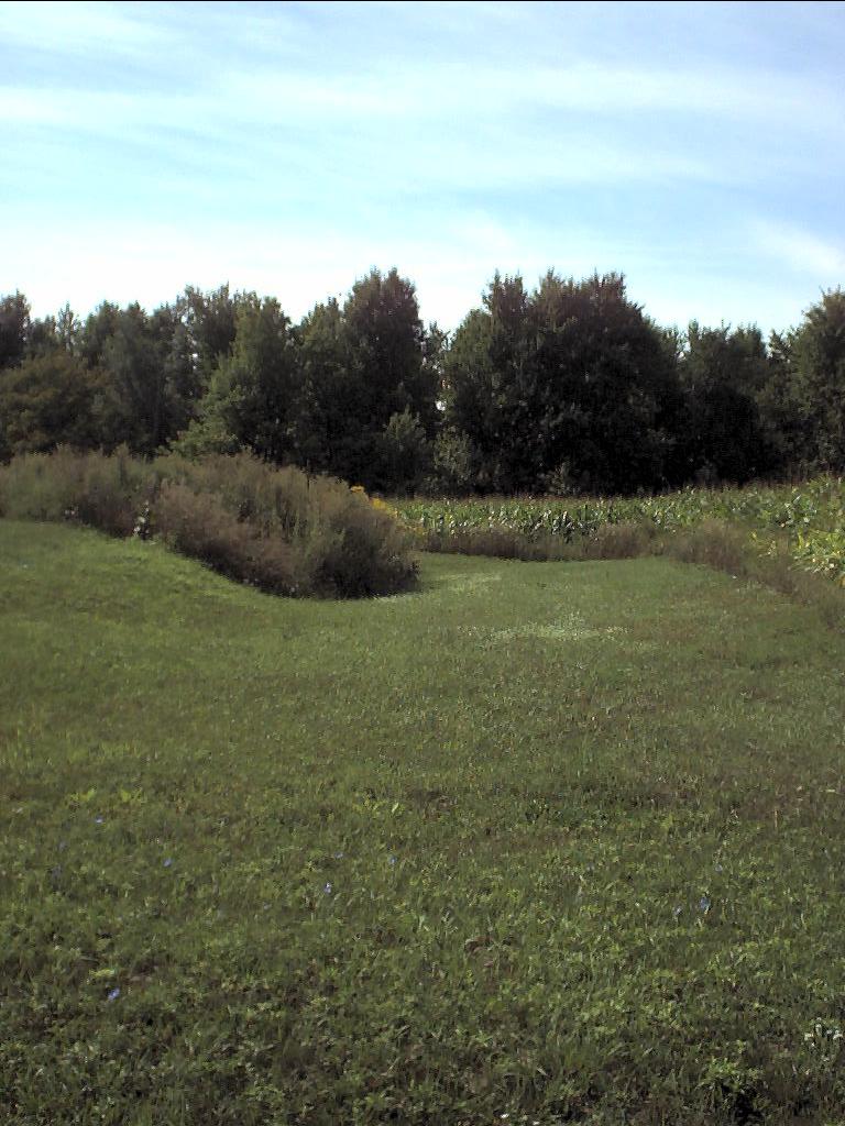 looking south next to driveway of house which is more likely to be the actual roadbed - Topo Photo
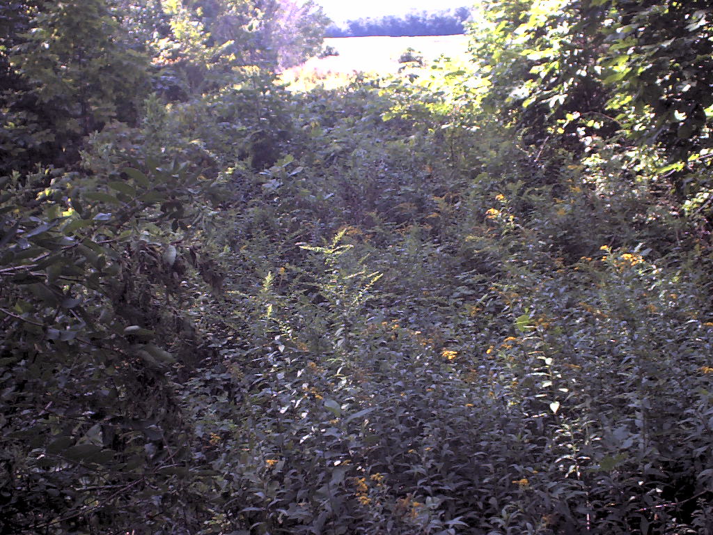 looking south over a very prominent railbed to farmer's field - Topo Photo
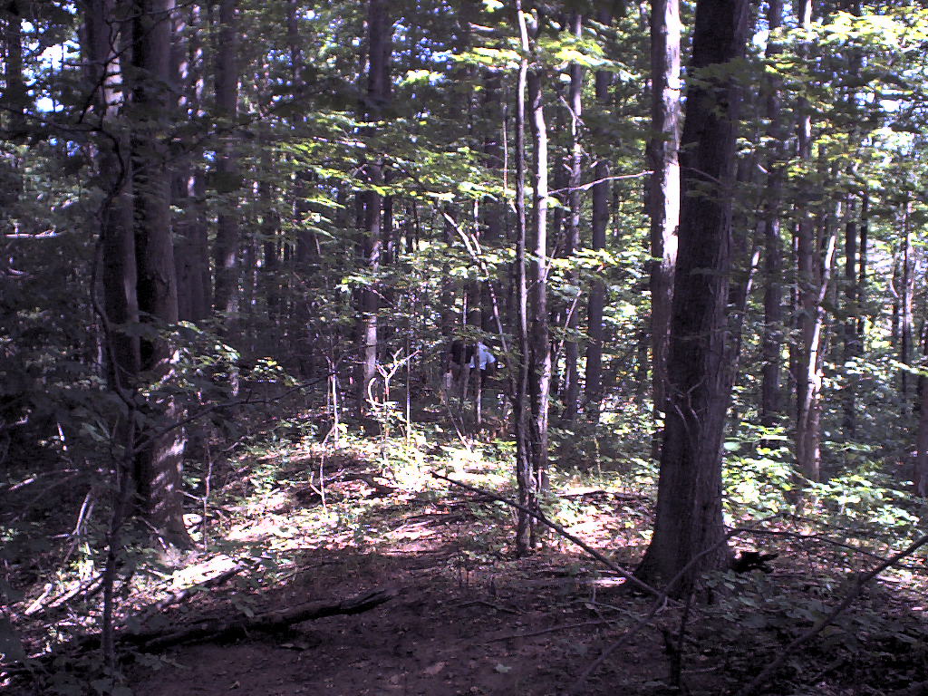 looking north at railbed and fellow railfans - Topo Photo
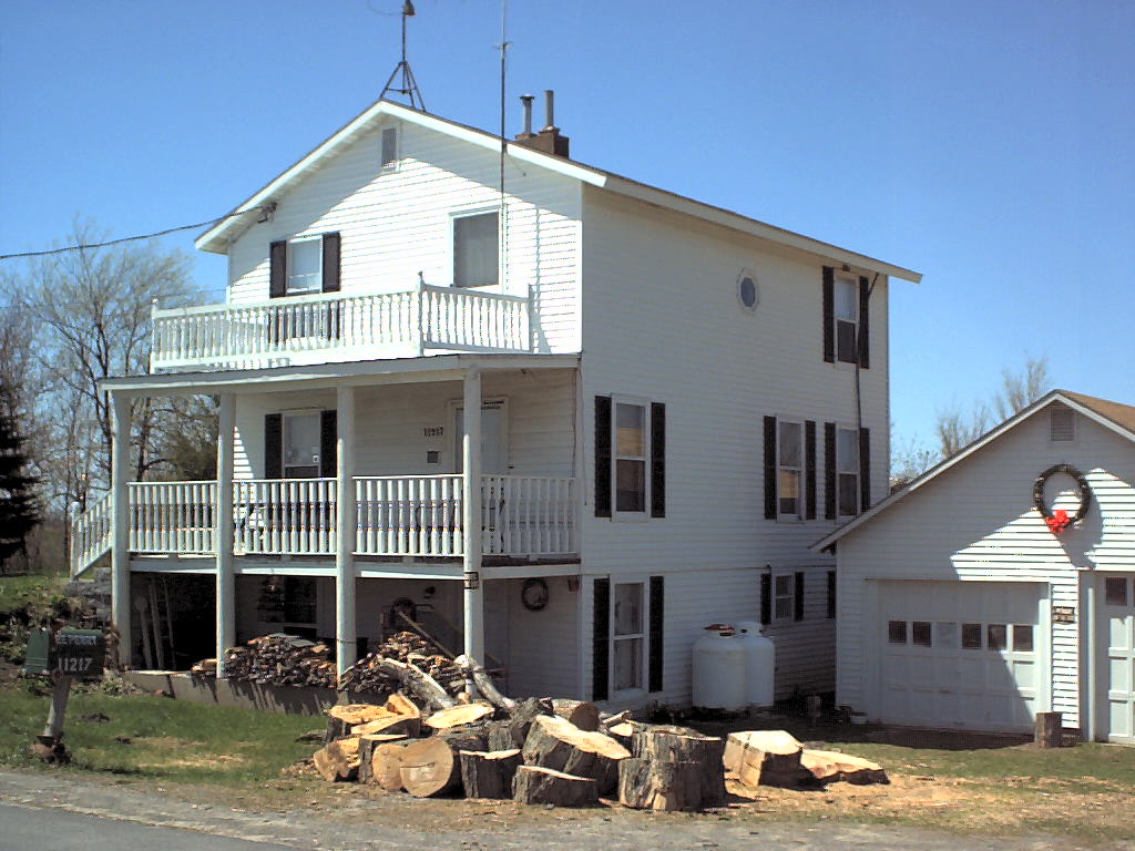 On the 1855 map, this house is marked "Henderson RR Station" - Topo Photo
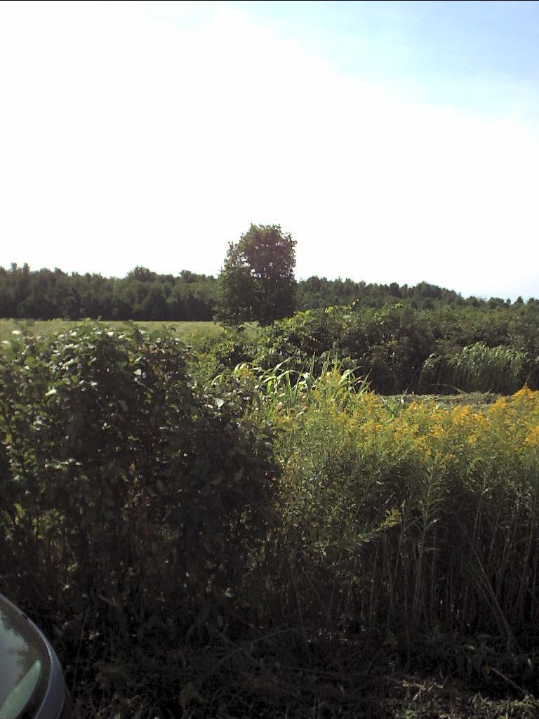 looking south at tree line - Topo Photo
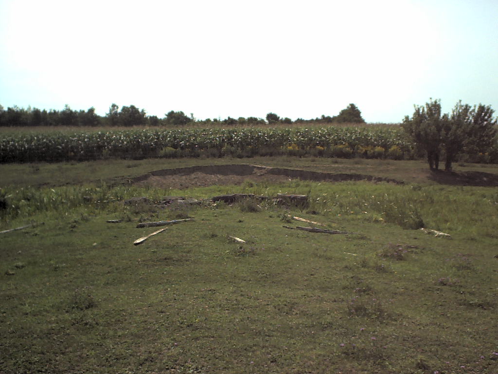 looking south at remnants of stone work - Topo Photo
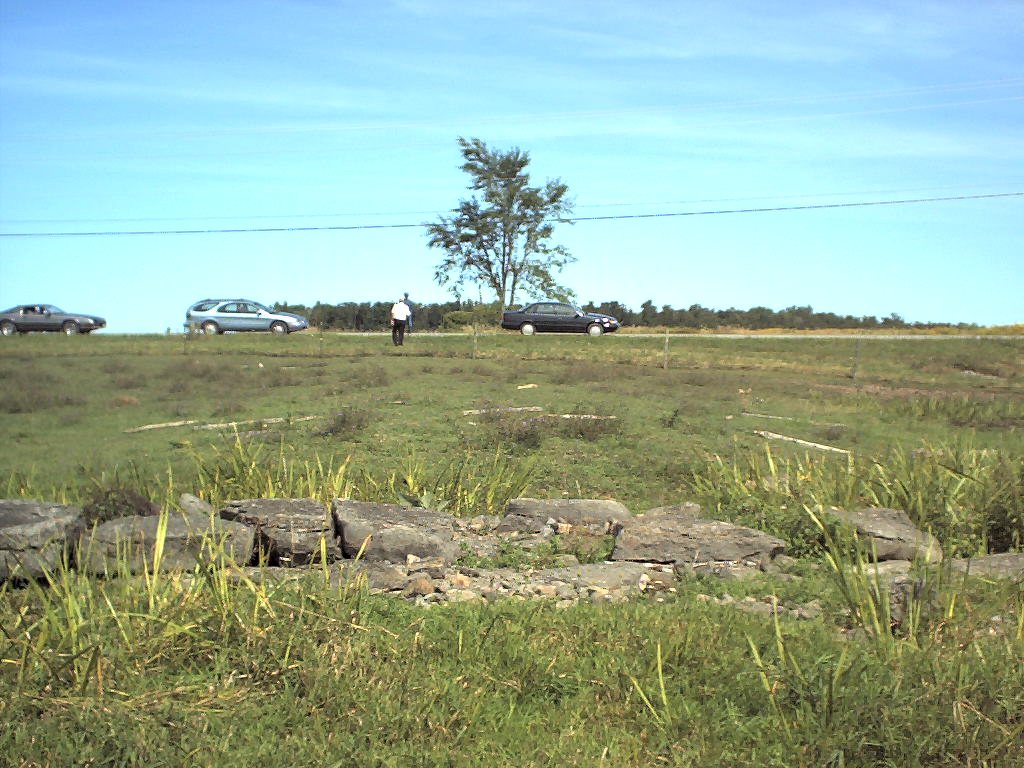 looking north you can very clearly see the remains of a bridge abutment that crosses the little creek behind me - Topo Photo
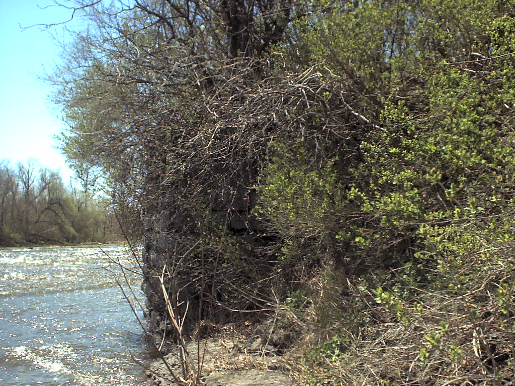 looking south along the river you can see a bridge abutment - Topo Photo
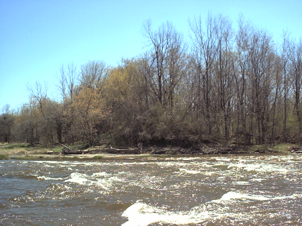 looking across the river you can see the embankment, but the abutment is gone - Topo Photo
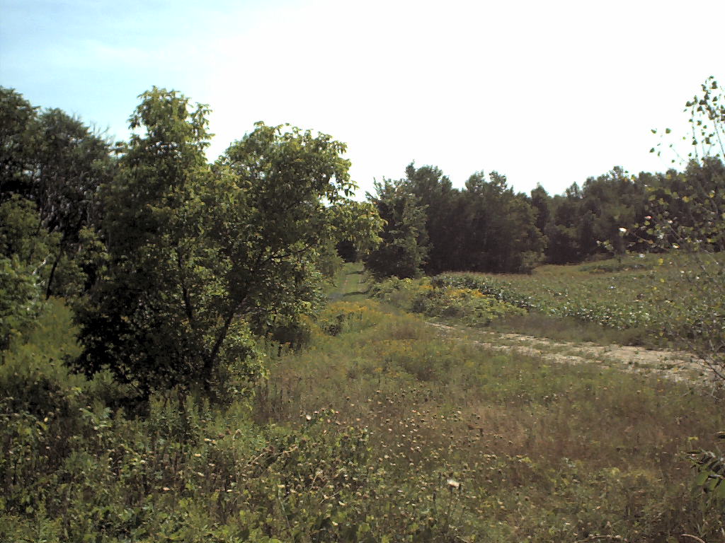 looking west along roadbed which is now used as a farmer's road - Topo Photo
 further east along the same road you can see the fill - Topo Photo
 and the corresponding cut from which came the fill - Topo Photo
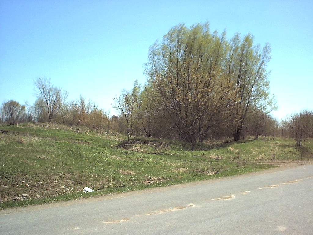 facing southeast, you can see the silo of the farm where the railroad crossed the road - Topo Photo
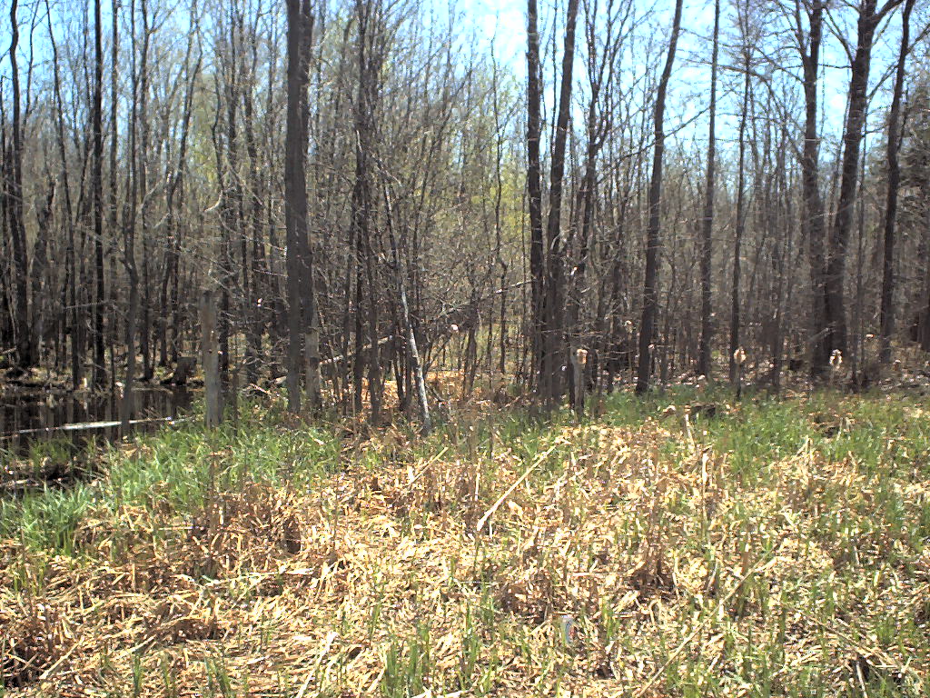 from I-81 northbound looking south, you can see the roadbed - Topo Photo