Two railroads used to run between Watertown and Sacketts Harbor. The earlier one is the Sackets Harbor and Ellisburg, which ran north and south. This one was built by the Carthage Watertown & Sackets Harbor RR and ran east and west. There's a field trip report which, while targetted at the SH&E, covers the CW&SH station in Sackets Harbor.
The following timeline was taken from A Time Line of Sackets Harbor History (page 2) and Fullfilment of the Remarkable Prophecies Relating to the Development of Railroad Transportation. Richard Palmer notes that the picture represented as the SH&E railroad station in Sackets Harbor is actually the CW&SH station, as the train is a New York Central local out of Watertown. Also, the name of the railroad is given as the Utica and Black River. The railroad was actually named the CW&SH even though it was owned by the U&BR.
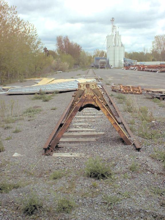
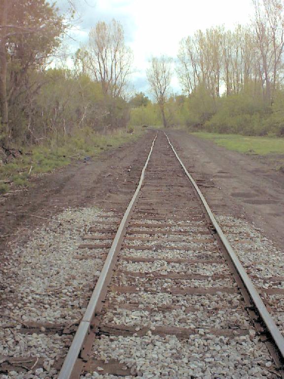
The ROW hasn't been kept open and is nearly invisible now. If you know what you're looking for, you can see treelines and fencelines that parallel the old ROW. In Watertown [combined topo + aerial], there's a siding which extends down the old ROW. See the curving road which does not appear on the topo portion of that map? Just to the west of the Arsenel St. Cem.? It crosses the ROW near its southern-most end. The existing spur ends there. I went east from there and snapped a pic looking back west at the end of the spur. I turned around and took a picture of the spur in the direction of the main line. It's around the bend to the left.
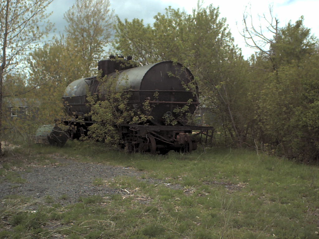
Now go west on the aerial photo one street from the end of the spur (no street names on map). The old CW&SH tracks extend west from there. Go west from the end of that road by about 20 meters, and you'll see a dark blob. That blob is a stranded tank car! The ROW and the rails that the tank car are sitting on continue west from there. The ROW is in the center of the picture and goes just to the left of the garage. The rails themselves are mostly buried in the dirt. In another picture, I'm looking back east towards the tank car hidden by the bush, with the garage now to my left. In a closeup of that same view, you can see where the siding used to end. The thing that looks like a sidewalk is a truck scale -- obviously built AFTER 1949. Standing in the same spot, I turned around and took a picture of the old tie still in the ground. This tie must be at least fifty years old.
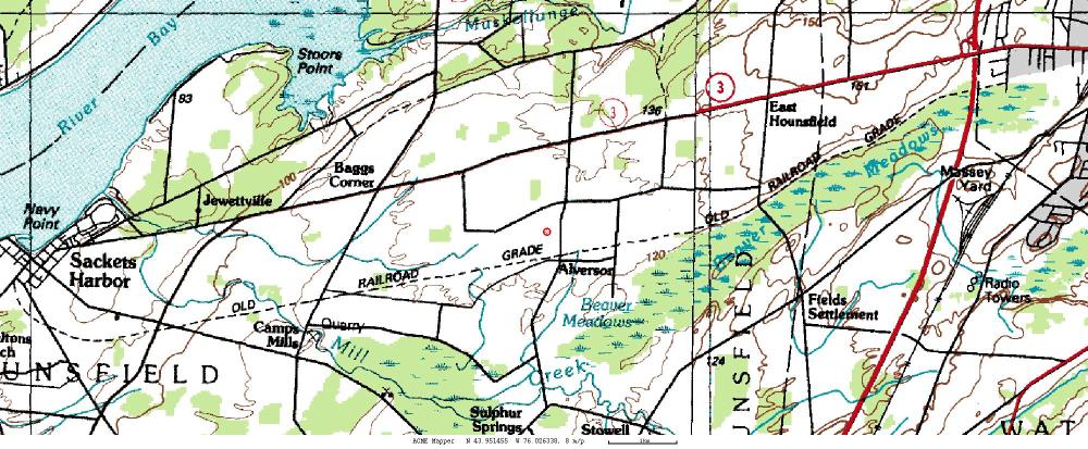
The railroad connects in Watertown[topo] with the old RW&O. It proceeds west on the northern side of a wetland past Interstate 81, south of Hounsfield, through Alverson, where some concrete foundations remain, and heads into Sackets Harbor. Terraserver/acme does not yet have 1:25000 maps for Sackets Harbor online as of this writing (8/2002). Topozone does. From them, you can see that the railroad enters town paralleling Ambrose St. You can also look at the 15' 1895 map of Sackets Harbor (look at the NW quarter map).
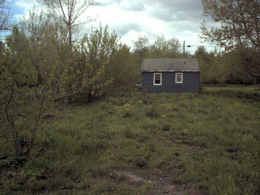
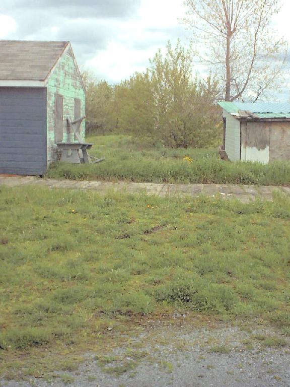
Without having actually done the research at the county clerk's office, I would speculate that the SH&E stations were used by the CW&SH at first. Existing Stations indicates that the passenger station was built in 1888, and the freight station in the 1890s. Interestingly, their address is given as Main St. even though the railroad paralleled Ambrose St.