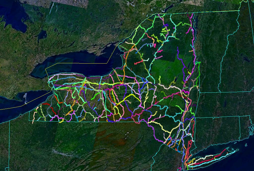
This is intended to be a comprehensive listing of every bit of railroad or railbed ever graded in New York State. The data is published in ESRI's 'shapefile' format.
One way to view this data is to use NASA's WorldWind. It's a 50MB download, runs on Windows, requires 3D hardware, and a broadband connection. The shapefile support is brand new and you need to install shapefiles manually.
Basically, install worldwind, and extract the contents of the zipfile into C:\Program Files\NASA\World Wind 1.3\ShapeFiles. Then in WorldWind, bring up the Layer dialog, and check New York State Railroads. Runs a bit slow, but the cool factor is amazing.
The data is also available on the web, without downloading any software. You can see each route plotted against a road or satellite map using Google Maps. You can visit them on the Rutland Trail website.
Also see Scot Lawrence's New York State Railroad Maps, which shows this same information for a few cities plus dates of us, ownership, and sidings.
Copyright 2005, 2006 by Russell Nelson. Not freely copyable data, because I'm still modifying it. If you want a copy, fetch it from here. If you want a friend to have a copy, tell him to get it from this site. Send comments to nelson@crynwr.com.