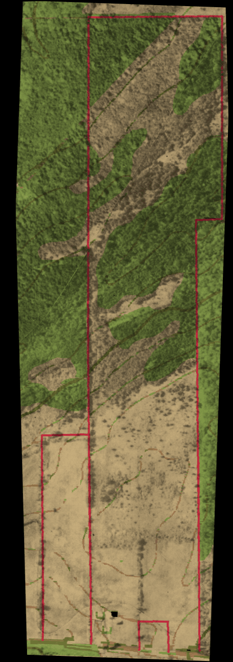
- Our land on Pleasant Valley Rd.
- A combination of two pictures: a scan of the
7.5 minute USGS topo map, and a scan of the picture part of the county
tax map. The latter is greyscale, so when I aligned and multiplied
the two images, you get a false-color picture. 458Kbytes.
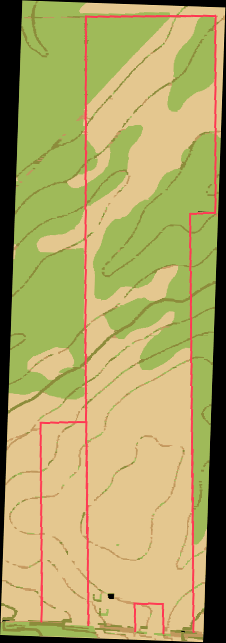
- The raw scan of the 7.5 minute topo map. 87Kbytes.
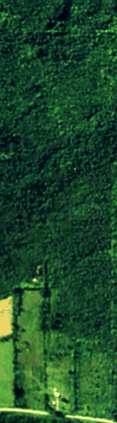
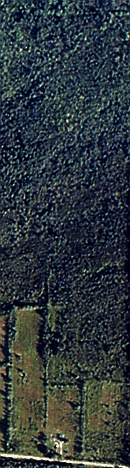
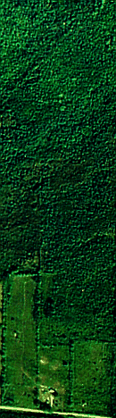
- Aerial photo taken in 1987. 73K
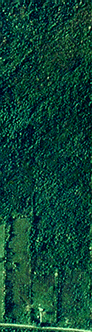
- Aerial photo taken in 1988. 71K
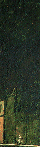
- Aerial photo taken in 1989. 72K
- Aerial photo taken in 1991. 75K
- Aerial photo taken in 1992. 74K
- Aerial photo taken in 1993. 80K
- Aerial photo taken in 1994. 68K
- All seven of the above, catenated left-to-right.