Did a field trip to the Clifton Iron Mine. Two mines, actually. One was worked in the 1850's, and the other in the 1940's. I guess we were only that desperate for iron during or after a war. The funniest thing is that a total of four roads were built into this site. The first, the Huftle Hill Rd., wrapped around Huftle Hill and headed to Clarksboro. On this trip, I found the Huftle Hill Road and took some photos. The second was a wooden-rail railroad. Not precisely sure where it came into the mine area, and found no trace of it on this trip. The third and fourth were a road from Degrasse and a railroad from the south.
Turns out that the whole Clifton Iron Mine parcel is an inholding, owned by the Clifton Hunt Club. Pain in the rear, because it makes the railbed going south impassable. Maybe they'll sell day passes outside of hunting season? I'll figure out how to contact them and ask permission before I go back.
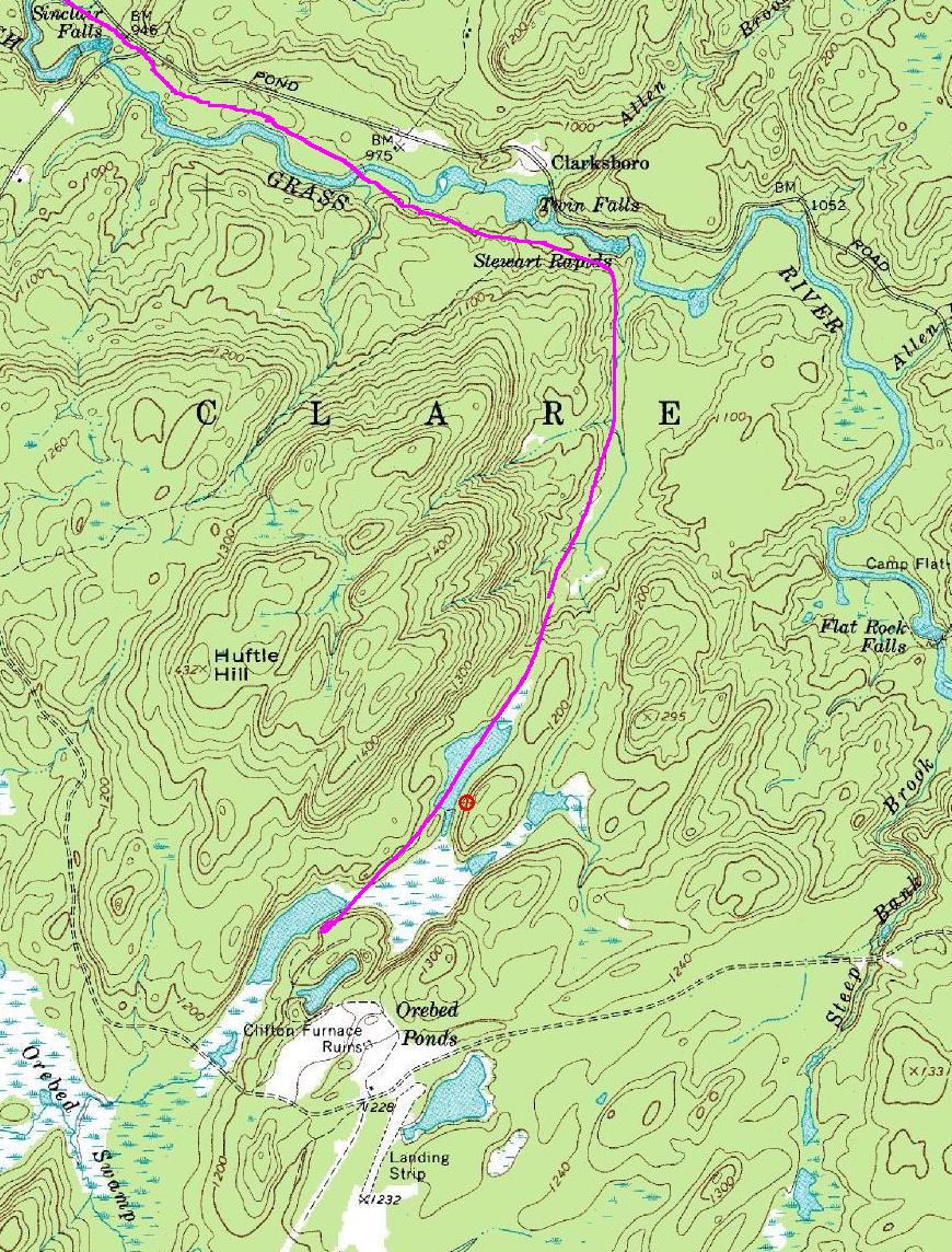
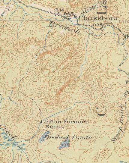
The notes and photos below are georeferenced. The Topo link takes you to the 7.5' USGS topographic map at 2 meters per pixel. The Photo link takes you to an aerial photo digitized at one meter per pixel. The following pair of maps are dated about seventy-five years apart. You can see that the 1898 map differs significantly from the 1972 map, but given that they surveyed it all BY HAND, they really did quite an excellent job. The purple track on the 1972 map is traced from a map shown to me by John Thomas, who with Dick Palmer wrote an article on the wooden railroad for the St. Lawrence County Historical Society's journal. I have found the railbed (complete with surviving ties!) north of the Grass river, and have a GPS track (1.3MB).
 looking west across the south end of black sand.[Topo][Photo]
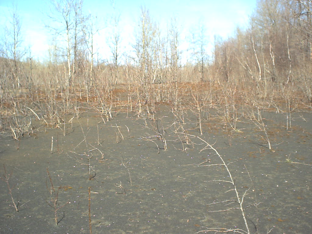 looking north from the southeast end of black sand.[Topo][Photo]
 porcupine went into dark place under big rock to right.[Topo][Photo]
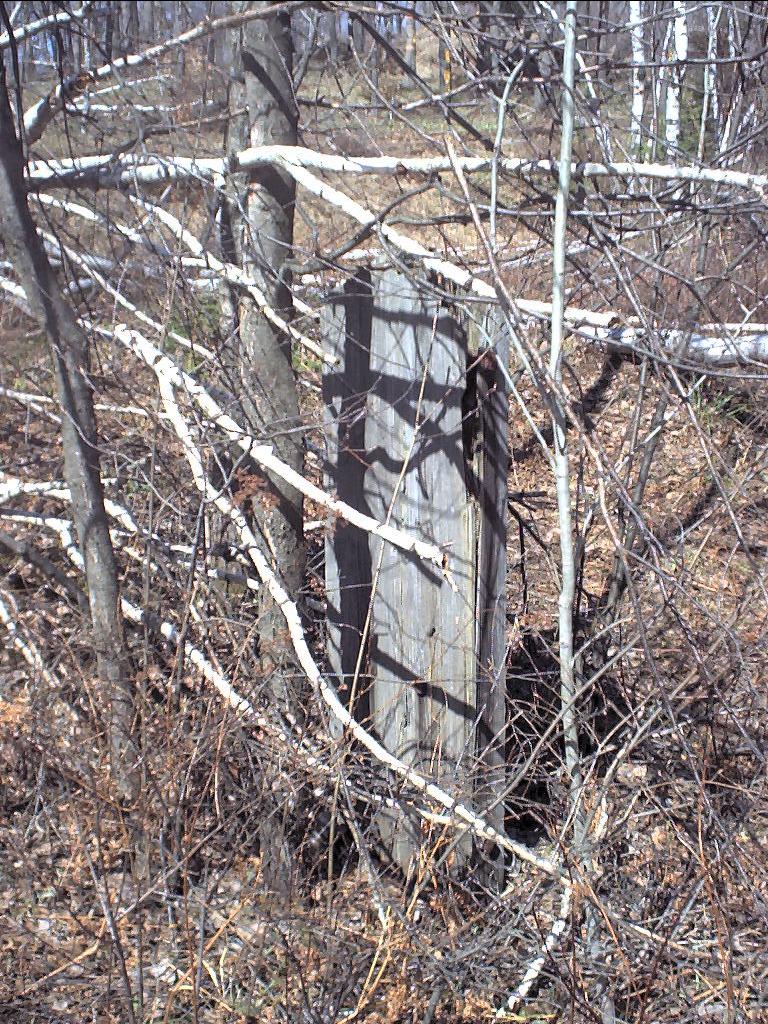
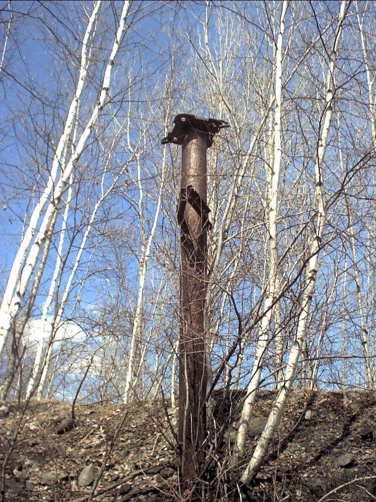 big metal post with wire rope guards[Topo][Photo]
 top of tipple.[Topo][Photo]
 picture of bottom of tipple. Lots of sheet metal and wire rope strewn about[Topo][Photo]
 chute of tipple[Topo][Photo]
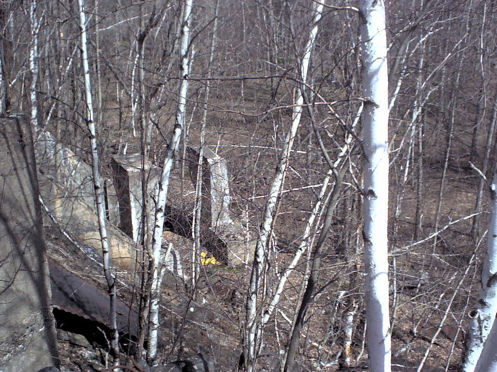
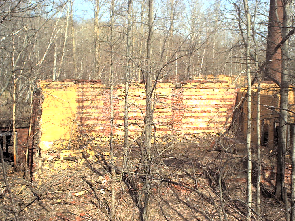
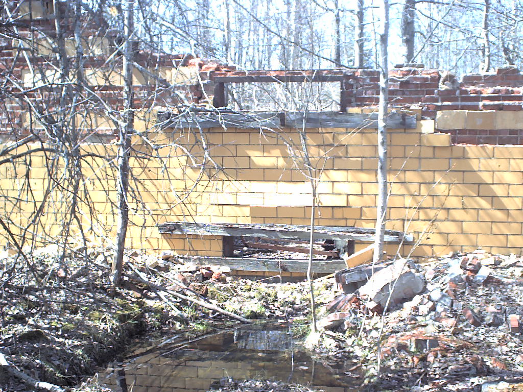
 yellow building through trees from top of tipple[Topo][Photo]
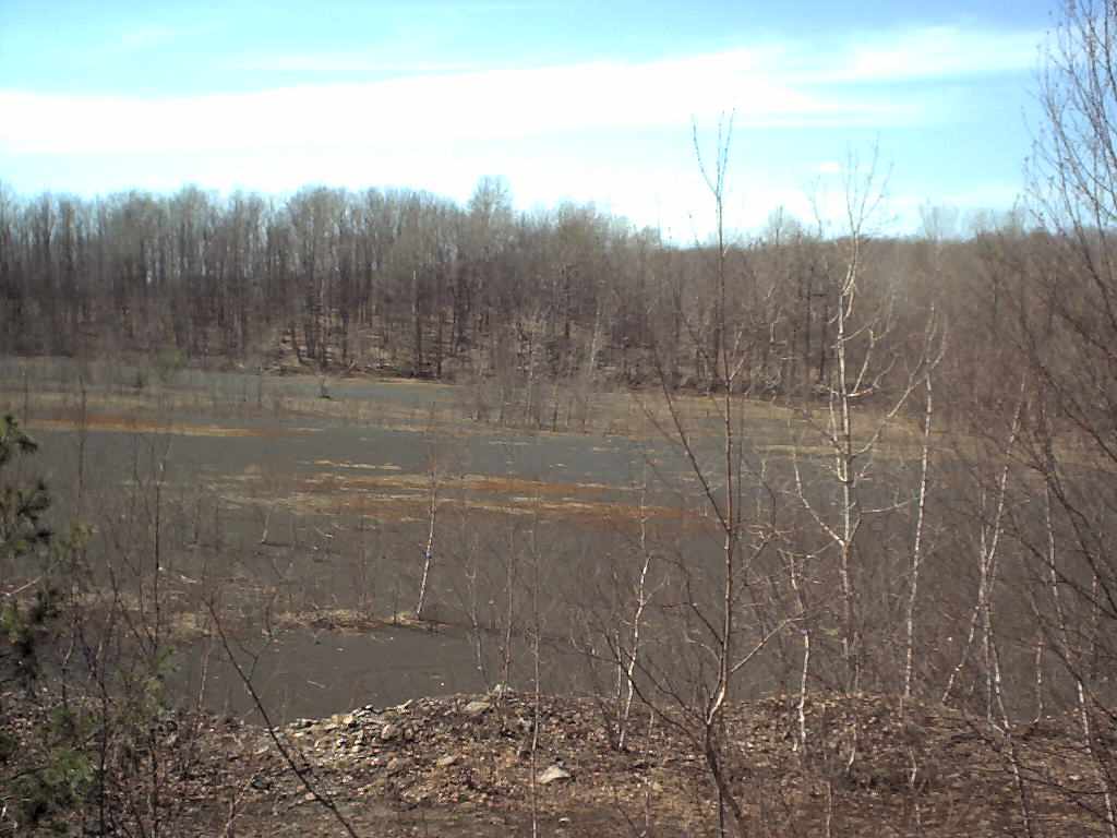 north end of black sand[Topo][Photo]
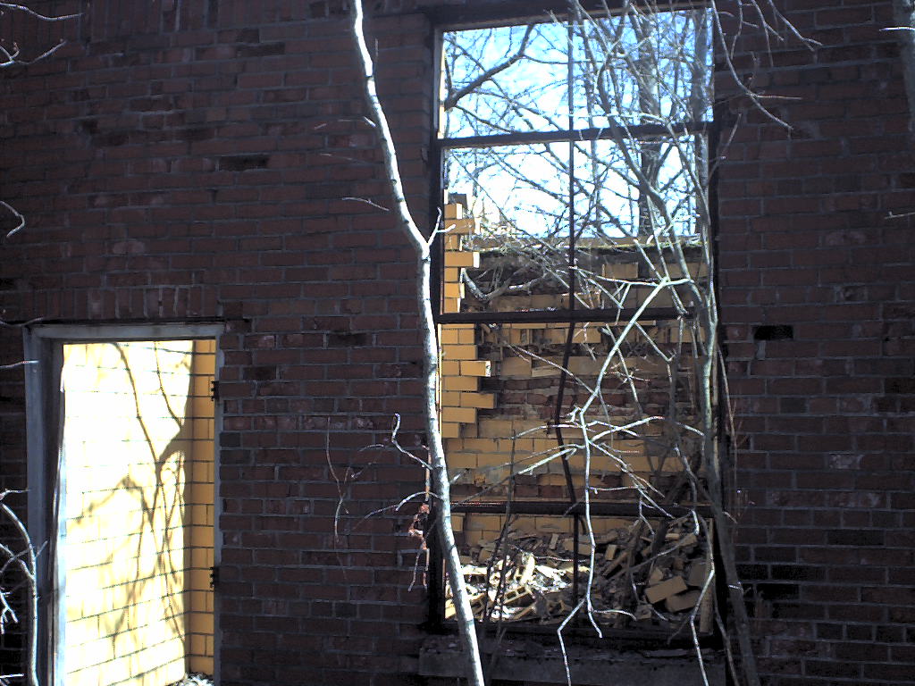
 a view into the yellow building from the west[Topo][Photo]
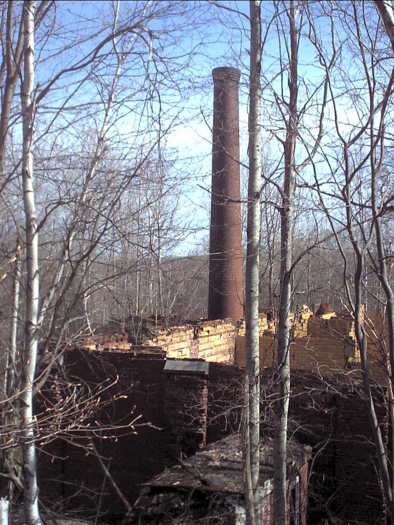 smokestack of the yellow building2300 in logfile
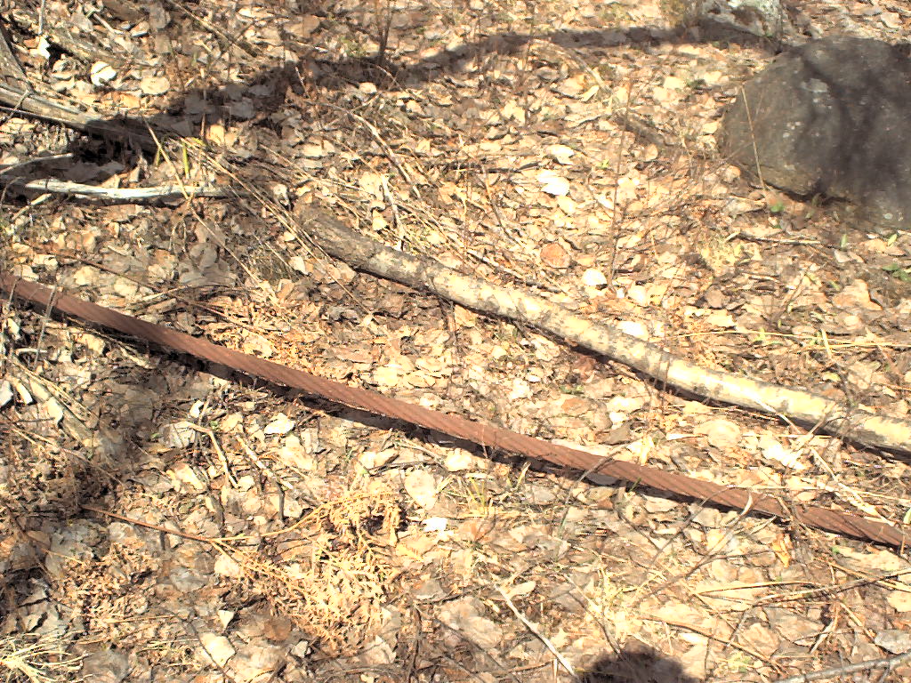 1.25" wire rope[Topo][Photo]
 northernmost corner of yellow building[Topo][Photo]
 picture through window into yellow building2363 in logfil
 picture of southernmost corner and vent stack2378
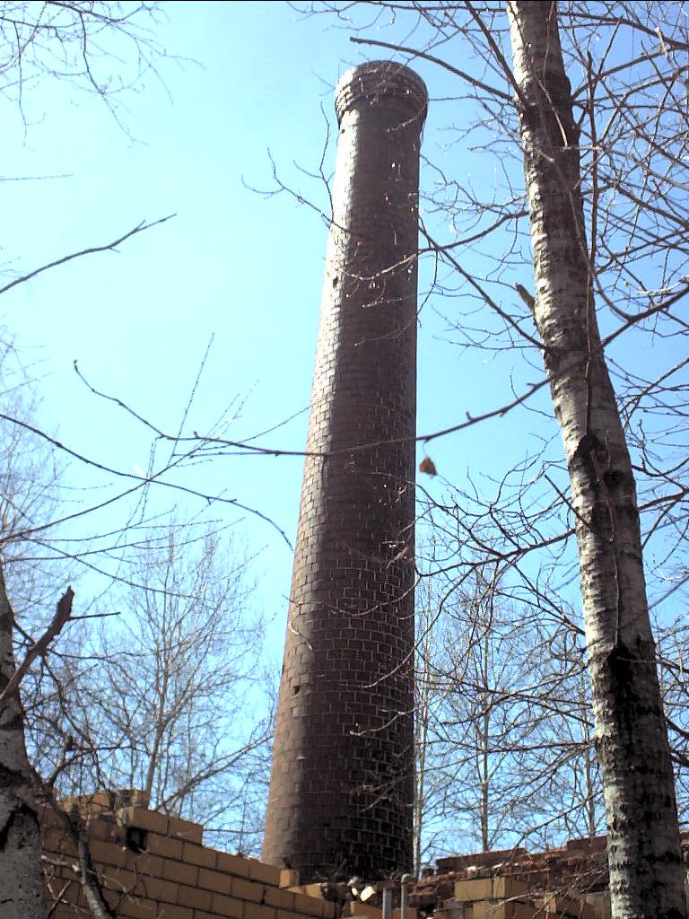 smokestack of yellow building, from the north2385
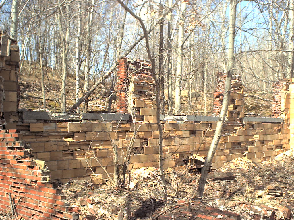
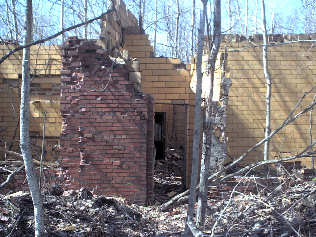
 flooded cellar hole and ruined wall2404
 yellow building hallway2411
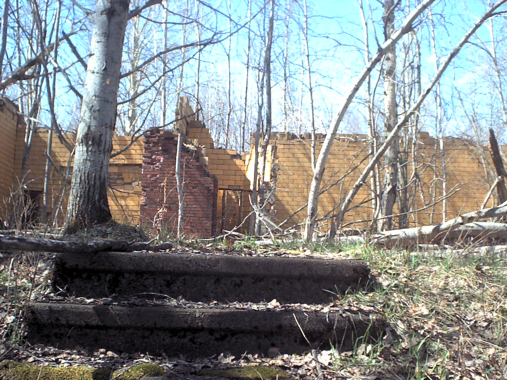 stairs on other side of road next to yellow building[Topo][Photo]
 roof seems to be covered with soil[Topo][Photo]
 looks like a signboard[Topo][Photo]
 12-15 foot deep pit, obviously dug, looks old - [Topo][Photo]
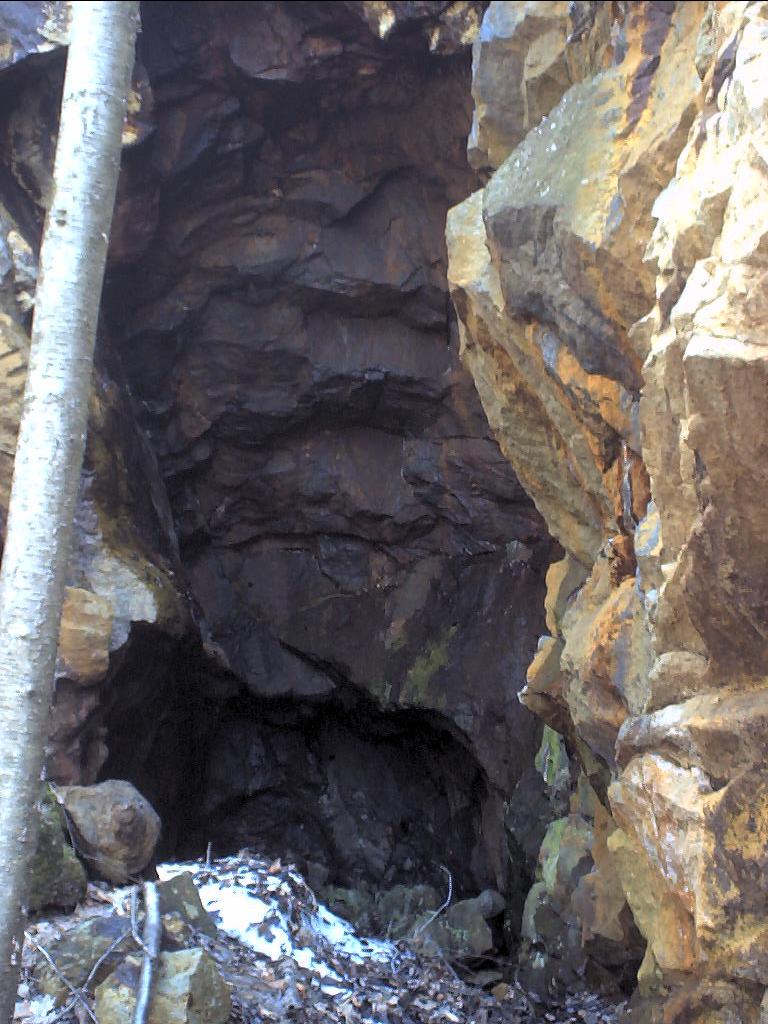 hole in hillside, lots of moss on rocks, must be old - [Topo][Photo]
 stone hut, must be from 1850's, mortar, doorway on west side - [Topo][Photo]
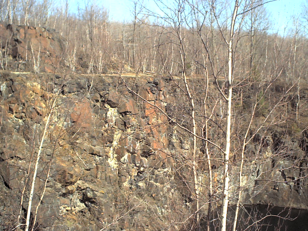
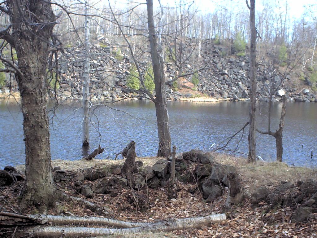
 taken down length of quarry - [Topo][Photo]
 pissed off crow - [Topo][Photo]
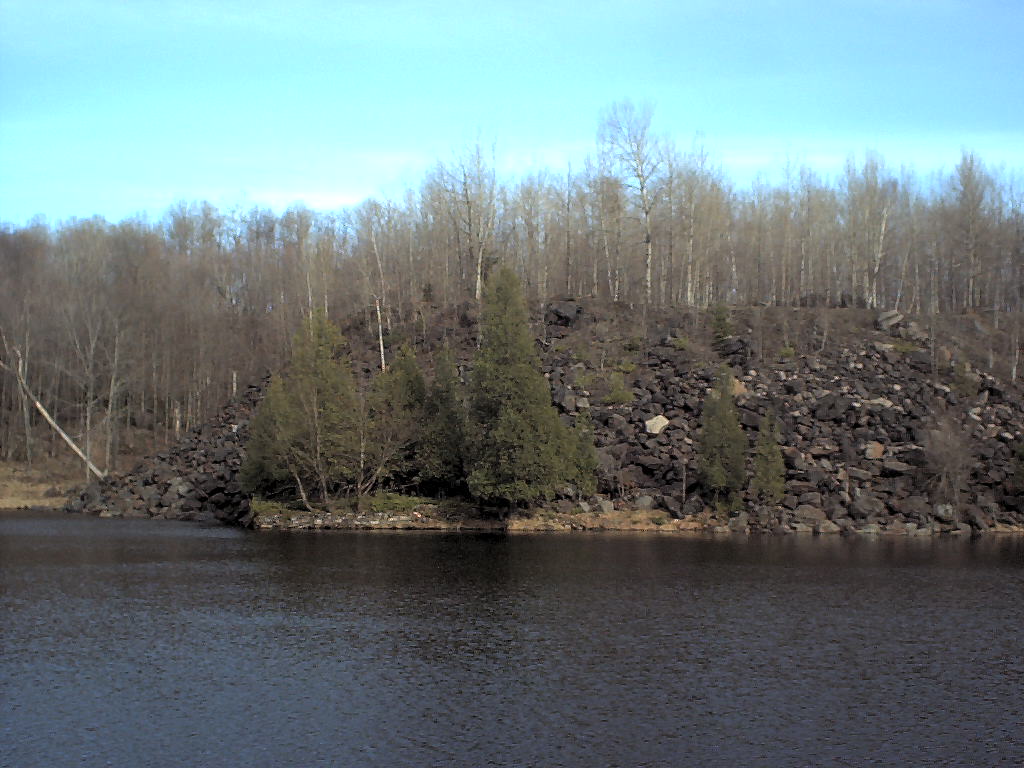
 taken across quarry - [Topo][Photo]
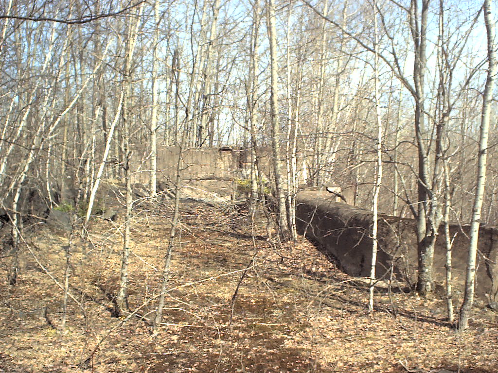
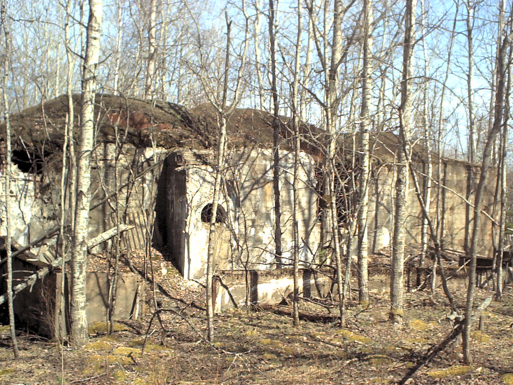
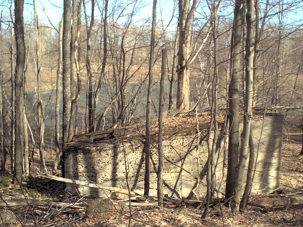
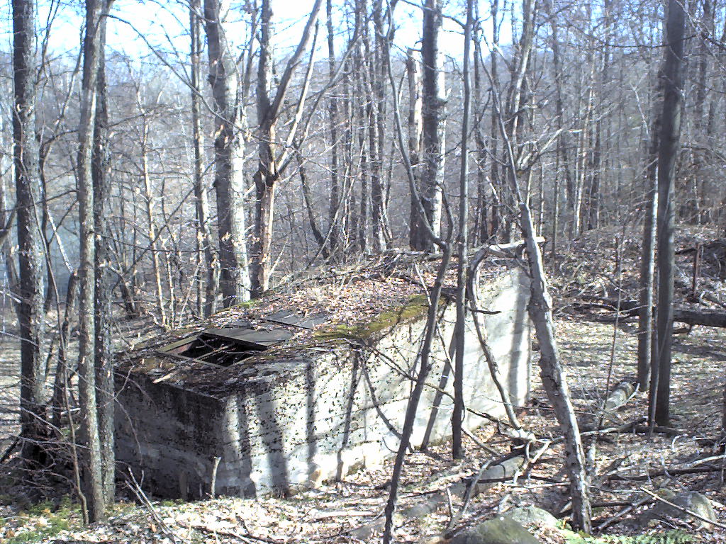 concrete building with slanted roof and shutters - [Topo][Photo]
 same
same
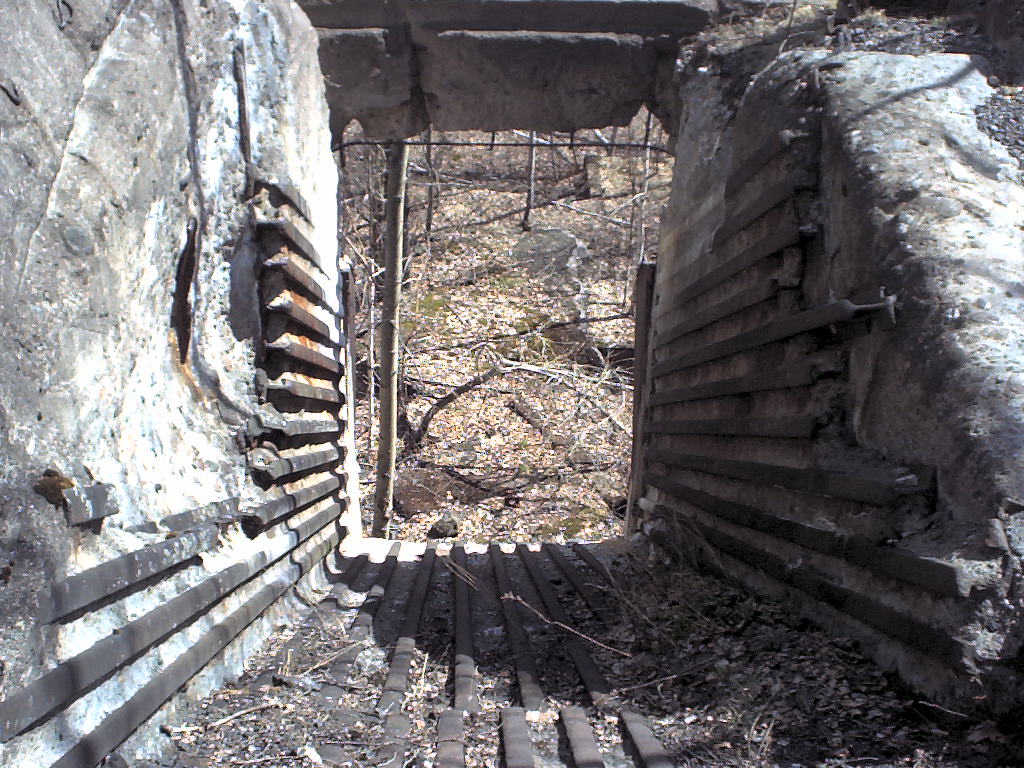
 same, metal partition seems to split building into left and right doors at weird angle - [Topo][Photo]
 same, looking out the door at two angle irons and a pipe and a few bits of rebar
 rockworks against hillside - [Topo][Photo]
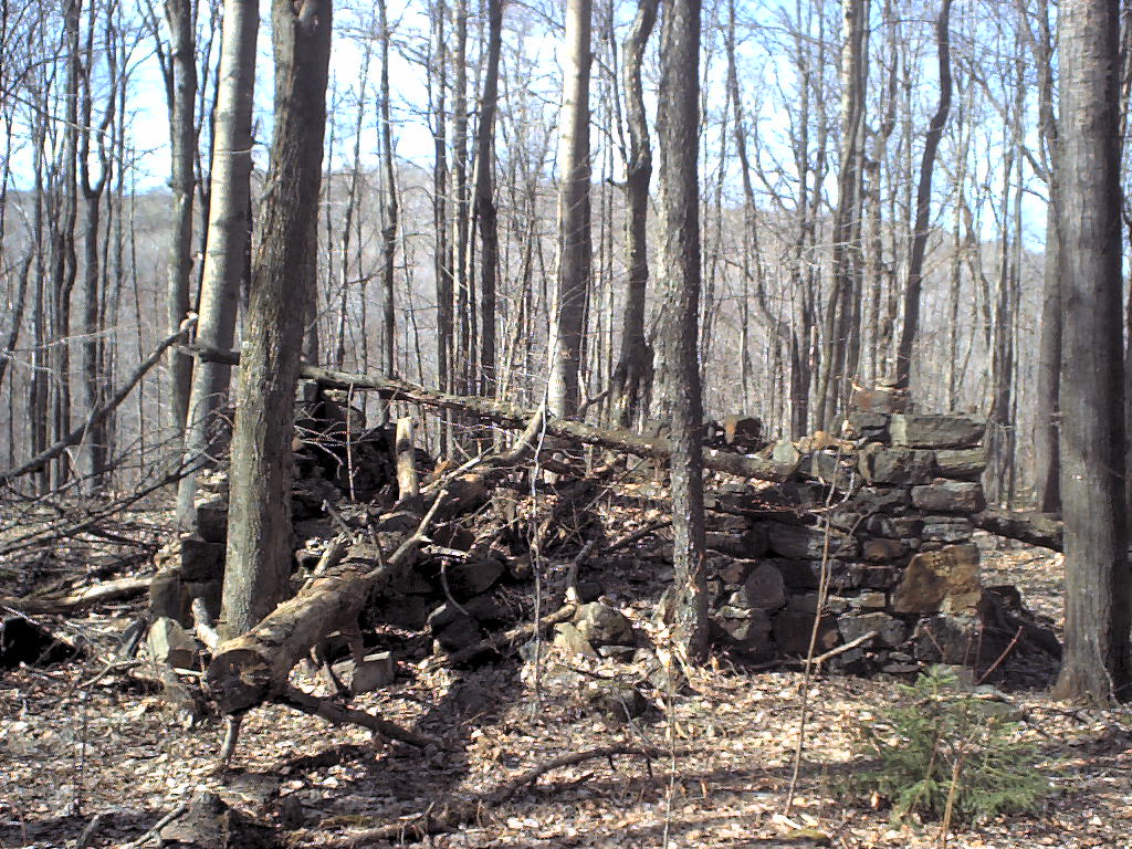
 foundation in foreground, tailings in background - [Topo][Photo]
 foundation of something right at water's edge, beginning of Huftle Hill Rd. - [Topo][Photo]
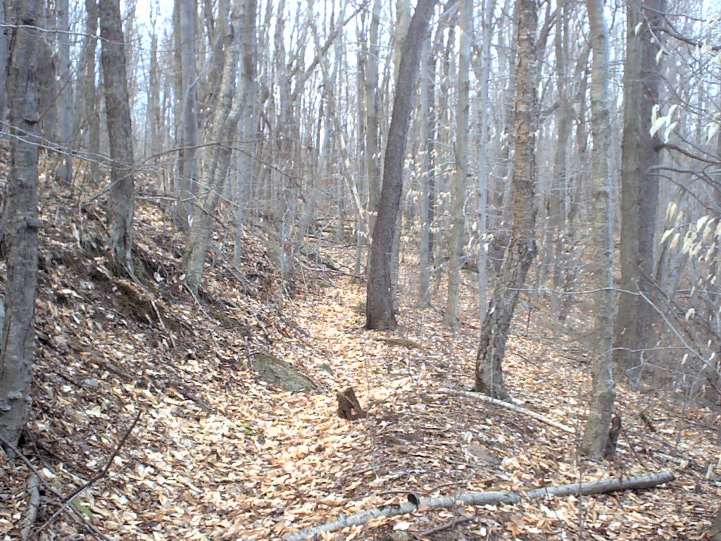 looking up road, you can see where hillside was graded. - [Topo][Photo]
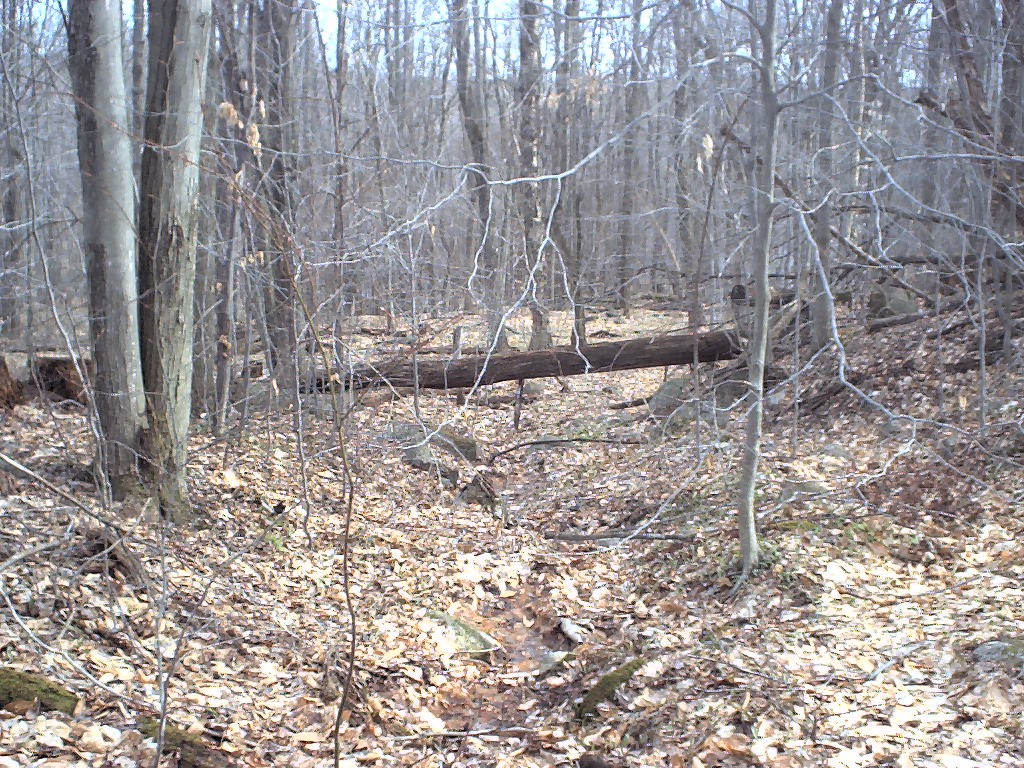
 10-15% grade going up hill - [Topo][Photo]
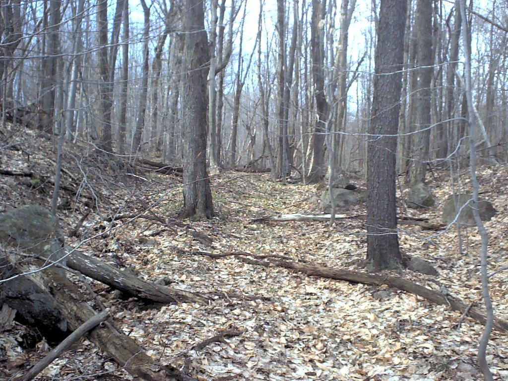
 looking down the hill - you can see grading on right, and rocks pushed off road to left - [Topo][Photo]
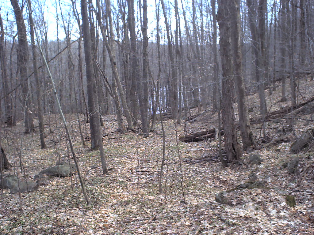
 looking back down hill, road is badly eroded - [Topo][Photo]